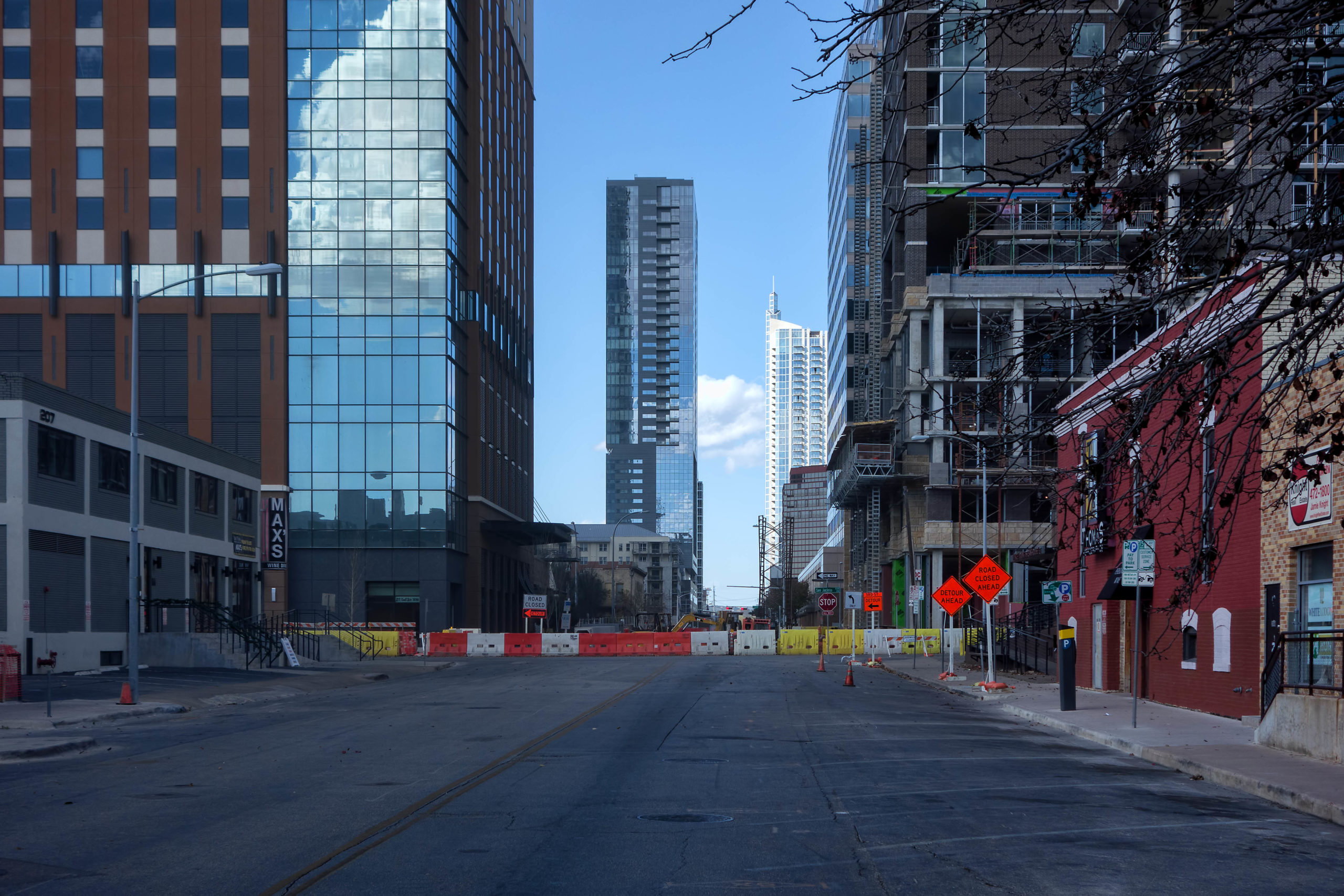
After years in the making, the city has proposed a modification to the street impact fee program out of a desire to simplify the process and maximize benefits in the city’s eastern crescent. Instead of calculating impact fees individually based on the needs within 17 service zones, the city would now prefer to set different impact fee rates based on whether or not a development falls inside or outside the city’s highway loop, bordered by Ben White Boulevard, U.S. Highway 183 and Loop 360.
“We thought this was a more straightforward process for the development community,” said Liane Miller, planning and policy program manager at the Austin Transportation Department. “It’s going to be a lot simpler to understand; they’ll know those numbers off the top of their head, what their collection rate is going to be no matter where they are in the city. So the development that’s occurring on the west side of Austin is not going to have any sort of incentive or disincentive when it comes to an impact fee for that development to occur – you’re going to have the same fee everywhere.”
Under the proposed fee collection rates, reductions and offsets, the city is anticipating the program would generate roughly $259 million over the first 10 years. Under state law, the money would be eligible only for road capacity improvement projects listed in the Austin Strategic Mobility Plan’s adopted Roadway Capacity Plan, which includes the street network map and table.
Due to historic disinvestment in communities east of Interstate 35, Miller told City Council’s Mobility Committee on Thursday that the previous rate structure based on individual service zones was creating higher fees for potential developments in those areas, in part because of the amount of growth now happening in neighborhoods like Colony Park. Instead of expecting developers to pay those higher costs to compensate for the city’s failure to provide adequate transportation infrastructure, the new fee structure sets a single rate within the highway loop and another outside the highway loop.
The differences in fees are based on assumptions of vehicle miles generated for a development inside versus outside the urban core. The citywide impact fee would be $850 per vehicle mile for residential and $1,250 for non-residential uses, but the number of vehicle miles used to calculate the total fee would be determined by a development’s location inside or outside the loop.
Using data from the Federal Highway Administration, the city predicts a residential building inside the loop will generate fewer vehicle miles than the same building outside the loop, whereas an office building outside the loop will generate fewer vehicle miles than office space inside the loop. Under the city’s proposal, a 258-unit residential development outside the loop would be issued a fee of $414,477 and a 10,000-square-foot office building inside the loop would pay $51,880.50 in street impact fees.
Miller said the new fee structure, while lowering fees in neighborhoods that have greater infrastructure needs, may ultimately result in less revenue collected from the program for those communities. Miller said that loss “has to be balanced with a strategy from the city” to prioritize future transportation investments in such areas.
“It’s kind of a tough spot to say if the fee is high, is that inequitable, or if the fee is low, is that inequitable,” Council Member Jimmy Flannigan said. “It’s not quite clear to me which direction means which thing.”
As a representative of District 6, which lies entirely outside of the highway loop, Flannigan added that he “really liked” the previous fee structure based on service zones. “I thought it spoke better to the differences and didn’t paint with such a broad brush, inside and outside (the loop), especially when I’ve heard the Council wanting to get away from that binary.”
Council is scheduled to hold a public hearing on the street impact fee program and consider related ordinances for adoption on Nov. 12. Other than fee amounts and collection options, the city is also requesting Council’s approval of a program timeline as well as any fee offsets or reductions for developments that offer benefits like travel demand management strategies or affordable housing.
“This has been a multi-year process, which I appreciate,” Council Member Alison Alter said. “I think this has been a good process and I want to make sure that we keep it that way through the end.”
“Fingers crossed that we can move this across the finish line,” Flannigan said.
Photo made available through a Creative Commons license.
The Austin Monitor’s work is made possible by donations from the community. Though our reporting covers donors from time to time, we are careful to keep business and editorial efforts separate while maintaining transparency. A complete list of donors is available here, and our code of ethics is explained here.
"impact" - Google News
October 09, 2020 at 12:10PM
https://ift.tt/2GEpEd2
City revises street impact fee plan - Austin Monitor
"impact" - Google News
https://ift.tt/2RIFll8
Shoes Man Tutorial
Pos News Update
Meme Update
Korean Entertainment News
Japan News Update
Bagikan Berita Ini


0 Response to "City revises street impact fee plan - Austin Monitor"
Post a Comment